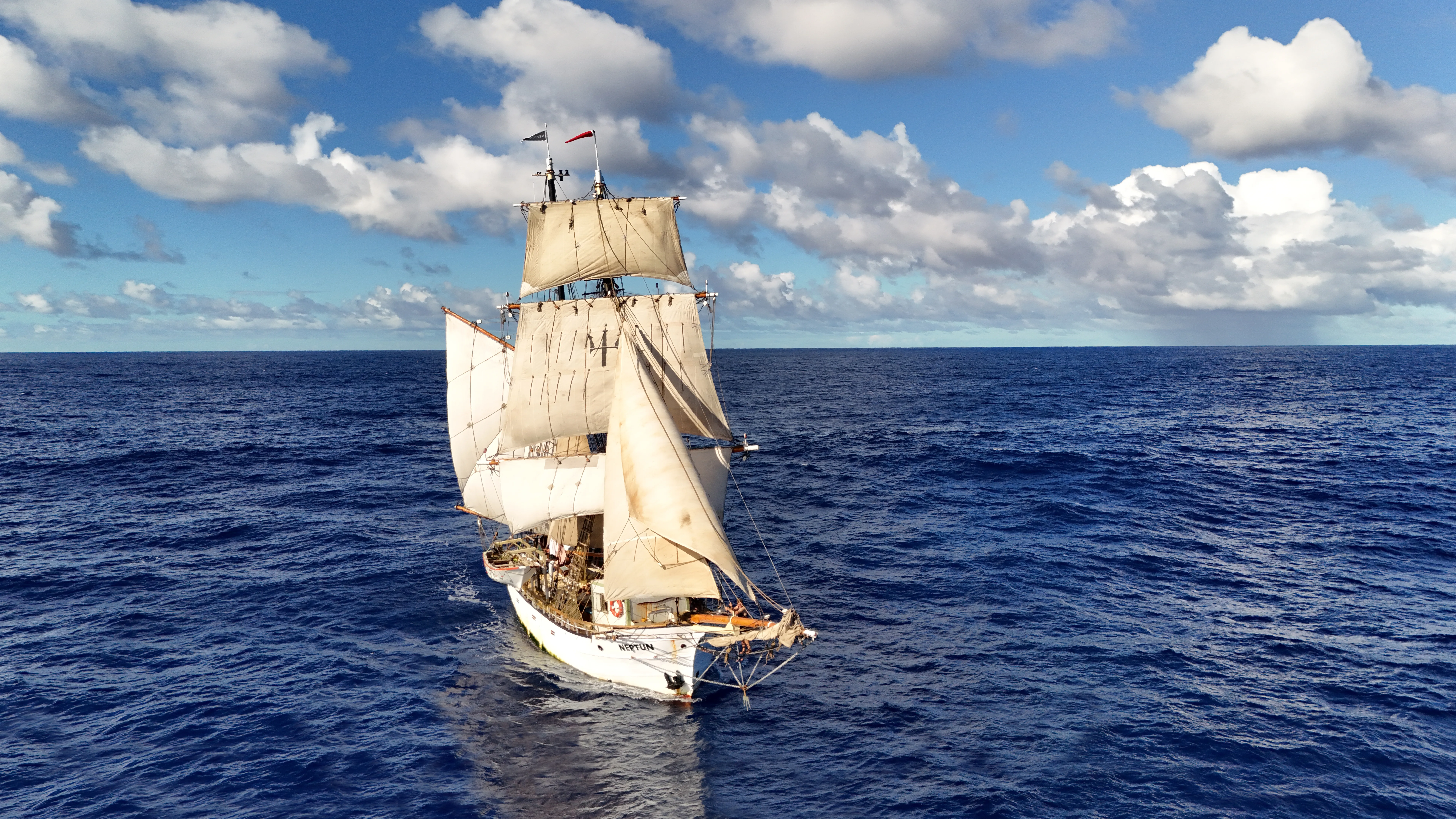
It is 1100 ship's time, the sun is climbing the eastern sky, and the mate is braced against the rail with a sextant to her eye. This is celestial navigation sailing, still, on a modern tall ship, not a reenactment, not theatre, but the daily discipline of shooting the sun and writing the answer in the log.
Yes, celestial navigation is still taught on board Brigantine NEPTUN. Every officer on this ship must be able to take their own position from the sky if the electronics die, and every trainee who sails an ocean leg gets a supervised noon sight before they go home. This article covers how to use a sextant, the noon sun-line, the twilight star fix, and how satellites and sextants actually share the plot today. If you want the parallel thread on rig and sail handling, start with our square sails explained, our most-read knowledge-base article, and the companion to this one.
Learn the craft at sea
NEPTUN's sail-training programme teaches celestial alongside sail handling, watchkeeping, and ocean navigation, on real passages, under working officers.
On this page
- Is celestial navigation still used in modern sailing?
- How a sextant actually works
- The sun-line at noon: the simplest celestial fix
- The star fix: three stars at twilight
- Celestial and GPS: how they share the plot on a modern tall ship
- Why NEPTUN teaches celestial navigation on every leg
- The navigators who made the method possible
- FAQ
- Read also
Is celestial navigation still used in modern sailing?
Yes. Celestial navigation is still taught and used on modern tall ships, naval academies, and ocean-racing boats as a navigational backup to GPS. The US Naval Academy restored celestial navigation to the midshipman curriculum in 2015 after a twenty-year gap, and STCW competence is still required for merchant officers of the watch.
What changed is the day-to-day picture. GPS became universal in the 1990s, and for fifteen years the working consensus was that celestial was obsolete. What brought it back is also simple. GPS receivers fail. Antennas get damaged. Solar storms knock signals out. State-level jamming and spoofing, documented in the Eastern Mediterranean and the Red Sea, can send a chartplotter a hundred miles off without any warning at all. A sextant needs none of that infrastructure, and it cannot be jammed. On NEPTUN, both tools are on the chart table, and the question is no longer either/or. It is which one is giving you the best answer right now, and does the other one agree. For how that fits into our daily routine, see life onboard.
How a sextant actually works
A sextant measures one thing: the angle between two objects. In practice, almost always between a celestial body, the sun, the moon, a planet, or one of the fifty-seven navigation stars, and the horizon directly below it. That angle is the body's altitude, and with the exact time of the observation it gives you one line of position on the earth.
The instrument itself is a frame shaped like a sixth of a circle (hence the name), with a graduated arc, an index arm that pivots across the arc, two mirrors, and a small telescope. You find the body in the telescope, swing the index arm until the mirror brings the body down to the horizon, and read the angle off the scale. The skill is in the movement: you rock the sextant gently from side to side so the body traces a shallow arc, and you log the reading at the arc's lowest point, that is the moment the body is truly above the horizon and not displaced by an off-vertical sextant.
The three-point drill every trainee learns on NEPTUN:
- Bring the body down to the horizon with the index arm. Coarse adjustment first.
- Rock the sextant to find the bottom of the arc. The body should kiss the horizon, not sit above or below it.
- Clamp and read the vernier scale to a tenth of a minute of arc. Note the time to the second.
Before every session you check three errors. Perpendicularity, is the index mirror square to the frame? Side error, are the two mirrors parallel when the index is at zero? Index error, is the scale true at zero? Each error is corrected with a small screw, or measured and subtracted in the arithmetic. One altitude plus one precise time gives one line of position. Two lines of two bodies give you a fix.
The sun-line at noon: the simplest celestial fix
Noon is a gift to navigators. At local apparent noon, the instant the sun crosses the ship's meridian, the sun is due north or due south, its altitude peaks, and the arithmetic collapses to the cleanest formula in the book: latitude = 90° − altitude ± declination. No spherical trigonometry, no sight-reduction tables, no interpolation, just subtraction and the sun's declination, which the US Naval Observatory's Nautical Almanac prints for every hour of every day of the year.
The NEPTUN procedure is a ritual. Ten minutes before predicted local apparent noon, the mate is on deck with sextant, chronometer watch, and a notepad. She starts taking sights at thirty-second intervals, tracking the altitude up. The numbers climb, climb, hang, and then begin to fall. The hang is noon. She notes the peak altitude, the time to the second, and takes the instrument below to apply index error, dip (the correction for the height of the eye above the sea), and atmospheric refraction in that order. What comes out is a latitude, good to within a mile or two under clean conditions.
Longitude is the second half of the puzzle. You cannot get it from one noon sight alone. The classical method is a morning sun-line "run up" to noon, a technique first worked out by Captain Thomas Sumner in 1837, and still the way most ships do it. The morning line gets advanced along the ship's course and speed, the noon line is drawn, and the two cross at the fix. It is nineteenth-century arithmetic that has never been improved on because it does not need to be.
The star fix: three stars at twilight
Stars are harder than the sun, because you need both the star and the horizon to be visible at the same moment. That only happens in the twenty-to-thirty-minute window at civil twilight, morning and evening, when the sky is dark enough to see the bright stars but the sea horizon is still sharp. Outside that window, either the horizon is gone or the stars are gone. On an ocean passage, the two daily twilights are the navigator's main working appointments.
The technique is the three-star cocked hat. You pick three of the fifty-seven navigation stars, spaced roughly 120° apart in azimuth so the lines of position cross at open angles. You shoot each in quick succession, the whole round rarely takes more than four or five minutes in good conditions, and you plot each as a line on the chart. The three lines never quite cross at a single point; they form a small triangle, the "cocked hat", and the fix is inside it. If the triangle is small, the sights were good; if it is big, at least one of them needs to be thrown out. This is the three moments every NEPTUN watch stands: sun-line at noon, sunset preparation for the evening stars, dawn fix before breakfast.
Selection is half the work. From Pub. 249 or the Air Almanac sight-reduction tables, or nowadays from a navigation app on a phone used strictly as a planning tool, you pre-compute which stars will be at usable altitudes (between 15° and 75°) and good azimuths for your dead-reckoning position at the expected twilight. Bowditch's American Practical Navigator, first published in 1802, still issued by the US government, and free to download, remains the standard text. Every ocean-going NEPTUN leg carries a copy.
The only way to practise a twilight fix is at sea
Star-fix training is built into every ocean passage we run. Bali to Réunion, South Africa to Brazil, Antigua to the Azores, the long legs are where the practice happens.
Celestial and GPS: how they share the plot on a modern tall ship
This is where modern celestial navigation actually lives. The GPS does the minute-by-minute work: a fix every second, accurate to a handful of metres, fed into the chartplotter, logged at the top of every hour. AIS overlays nearby traffic. The radar draws the rain and the land. The sextant does none of that, and does not try to. Its job is different.
The honest division of labour on NEPTUN looks like this:
| Tool | What it does best | Where it fails |
|---|---|---|
| GPS / chartplotter | Continuous position to ten metres; route work; real-time cross-track error | Receiver failure, antenna damage, jamming, spoofing, loss of satellite constellation |
| Sextant + chronometer | Independent position to a few miles; no infrastructure; validates GPS; takes over in failure | Needs a visible body and horizon; needs arithmetic; takes minutes, not seconds |
| Together | GPS runs the minute-by-minute picture; celestial validates it daily and replaces it when it fails | , |
On ocean passages we take at least one sextant sight a day when weather allows, work it out, and compare the result to the GPS. When the two agree to within a mile or two, nobody thinks anything of it. When they do not agree, we look harder, and that is exactly the value of keeping the skill alive. The sextant is a second opinion that cannot be corrupted by the same failure mode as the first.
Ocean passages where celestial earns its keep
Three legs of the 2026-2027 world voyage where a dead GPS is a real scenario, and the sextant is the answer, not a backup plan.
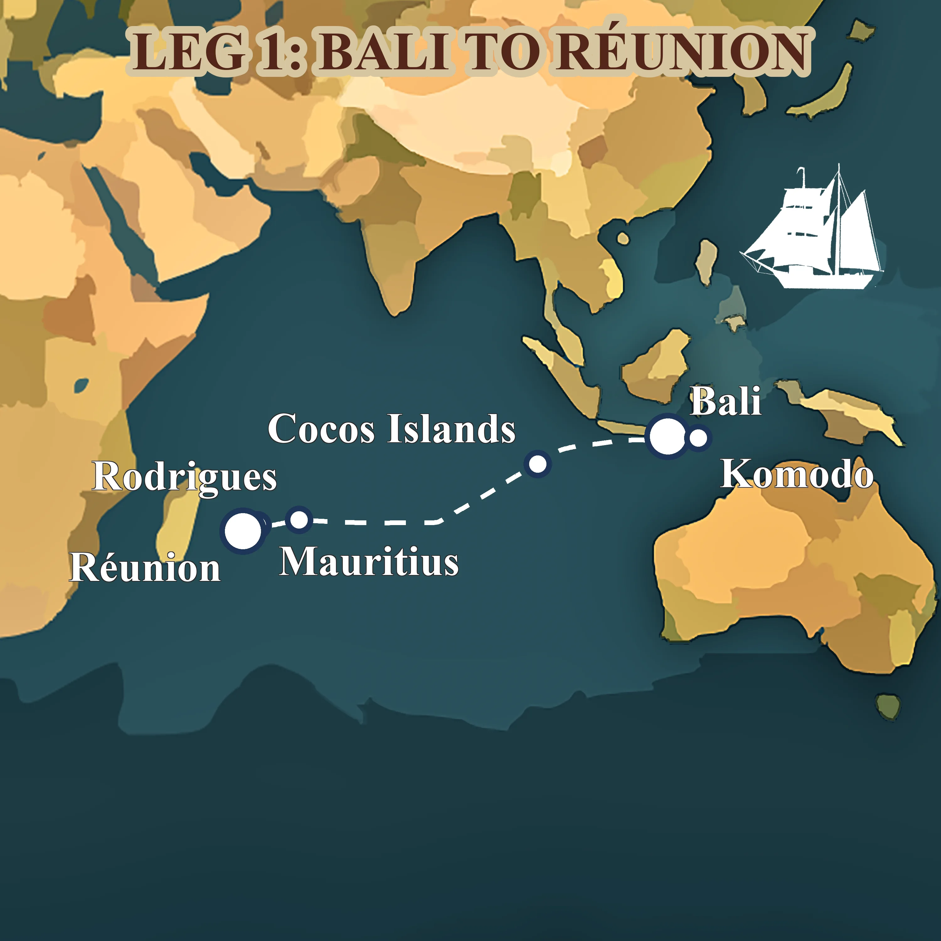
Leg 1: from Bali to Réunion across the Indian Ocean
May 2026 — Aug 2026 · Bali, Indonesia → Réunion, France
The opening chapter of Neptun's 482-day world voyage, a 4,078-nm trade-wind passage from the temples of Bali to the volcanic cliffs of Réunion.
Read more about this leg → about Leg 1: from Bali to Réunion across the Indian Ocean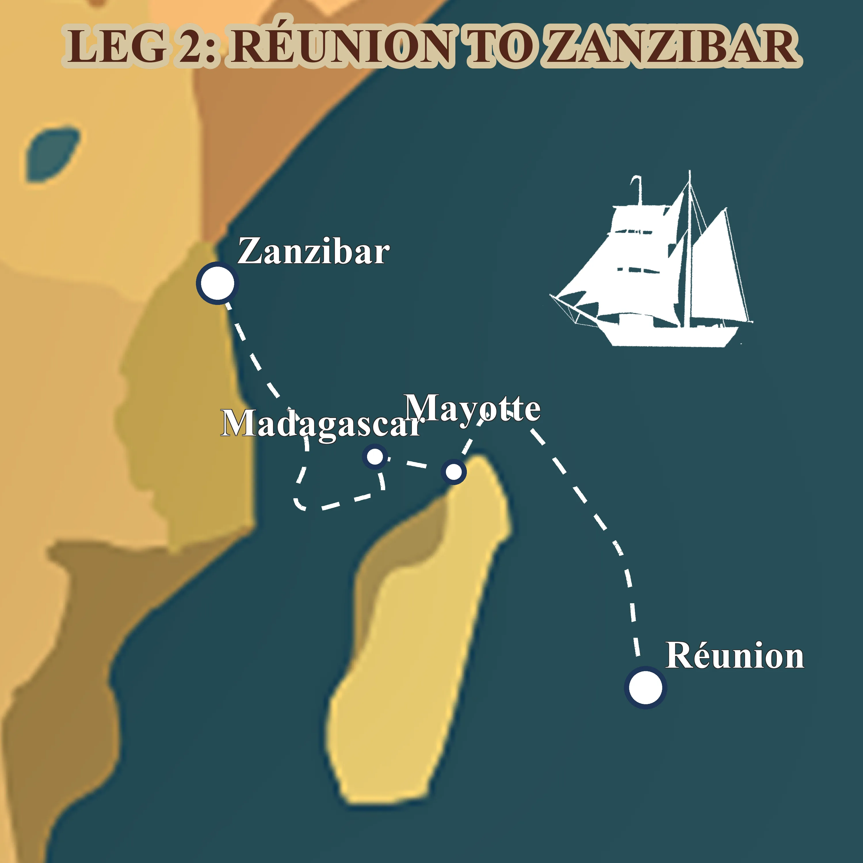
Leg 2: from Réunion to Zanzibar via Madagascar
Aug 2026 — Sept 2026 · Réunion, France → Zanzibar, Tanzania
Forty days across the western Indian Ocean, volcanic Réunion, lemur-haunted Nosy Be, the Mozambique Channel, and the spice-scented stone alleys of Zanzibar.
Read more about this leg → about Leg 2: from Réunion to Zanzibar via Madagascar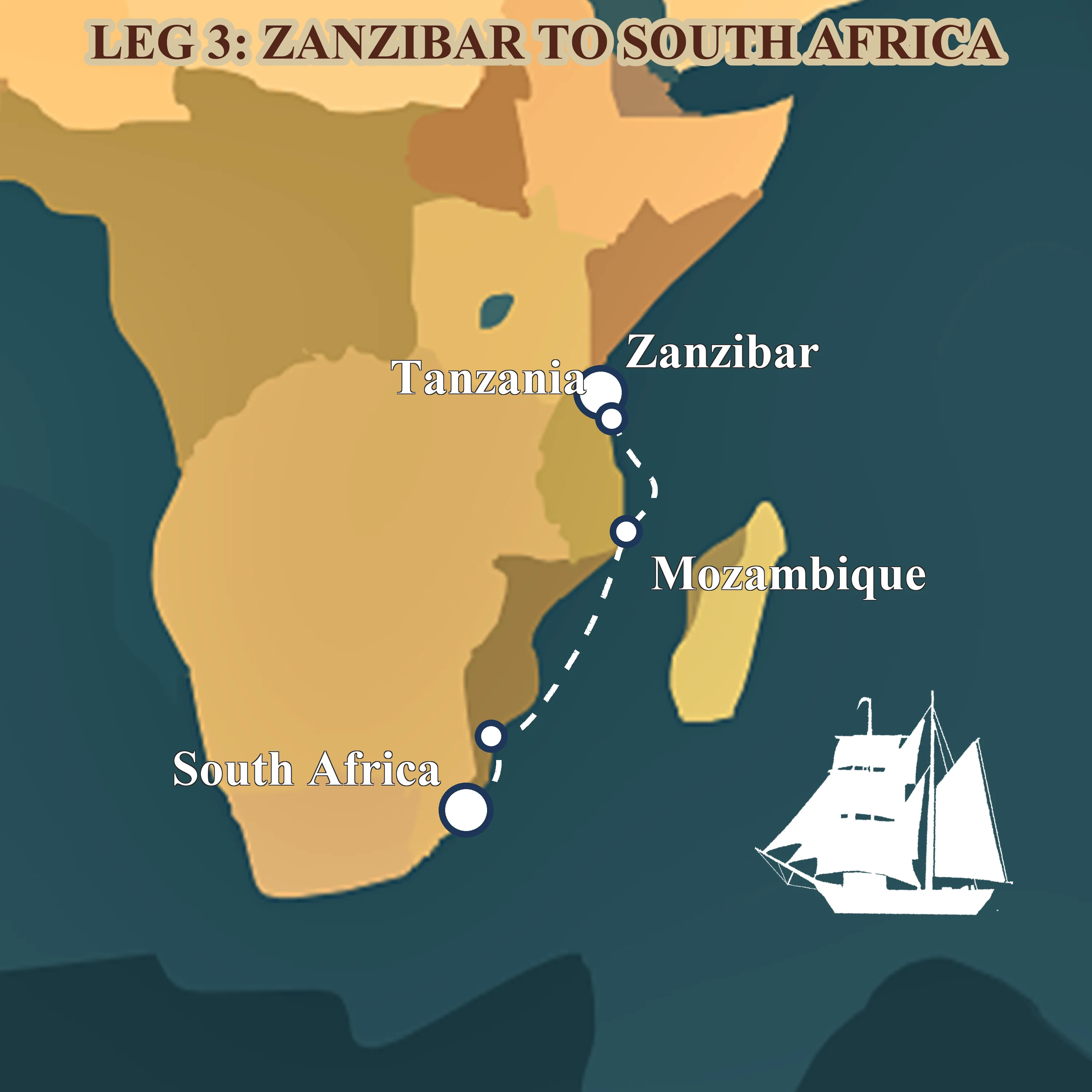
Leg 3: from Zanzibar to Durban down the Mozambique Channel
Sept 2026 — Nov 2026 · Zanzibar, Tanzania → Durban, South Africa
Sixty-three days coasting the African shore, spice islands, mangrove anchorages, Portuguese praças and the long trade-wind run down the Mozambique Channel to Durban.
Read more about this leg → about Leg 3: from Zanzibar to Durban down the Mozambique Channel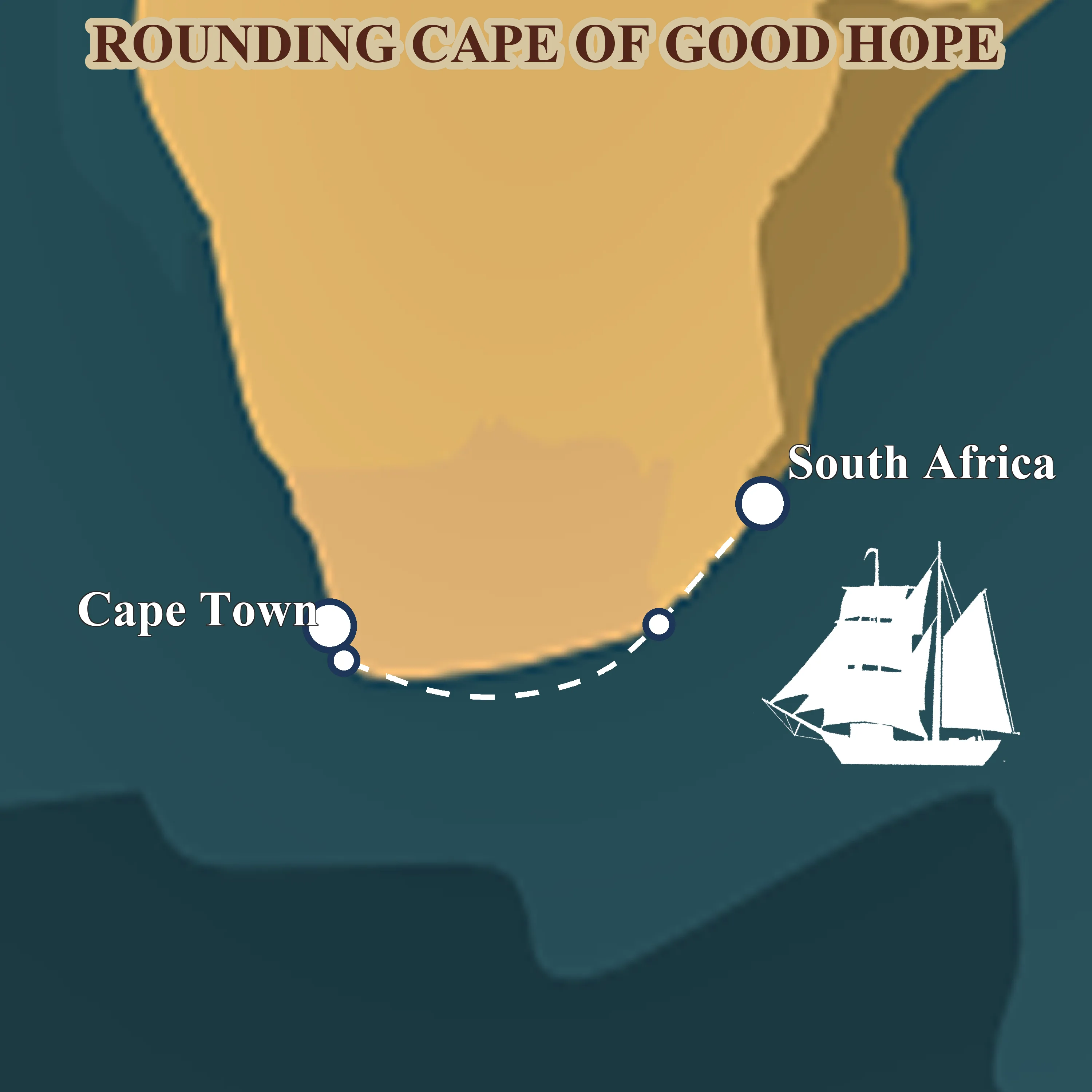
Leg 4: from Durban around the Cape of Good Hope
Nov 2026 — Dec 2026 · Durban, South Africa → Cape Town, South Africa
Thirty-eight days of serious seamanship, the Agulhas current, the Cape of Good Hope and the Southern Ocean at the tip of Africa, finishing quietly in Cape Town for Christmas.
Read more about this leg → about Leg 4: from Durban around the Cape of Good Hope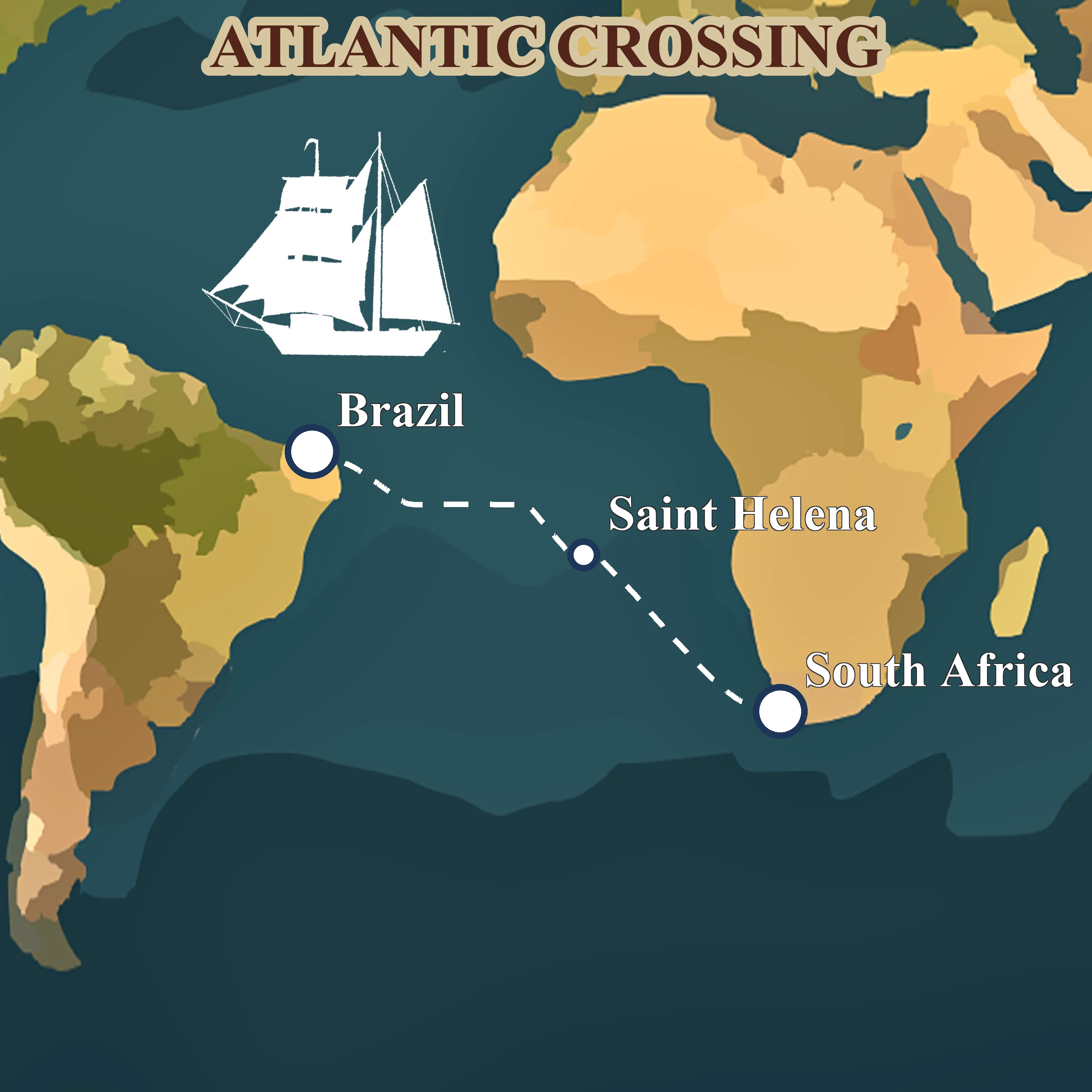
Leg 5: across the South Atlantic from Saldanha to Fortaleza
Jan 2027 — Mar 2027 · Saldanha Bay, South Africa → Fortaleza, Brazil
Forty-four days before the southeast trades, Napoleon's exile at St. Helena, the equator crossing, and landfall in tropical Brazil. The ocean chapter of the voyage.
Read more about this leg → about Leg 5: across the South Atlantic from Saldanha to Fortaleza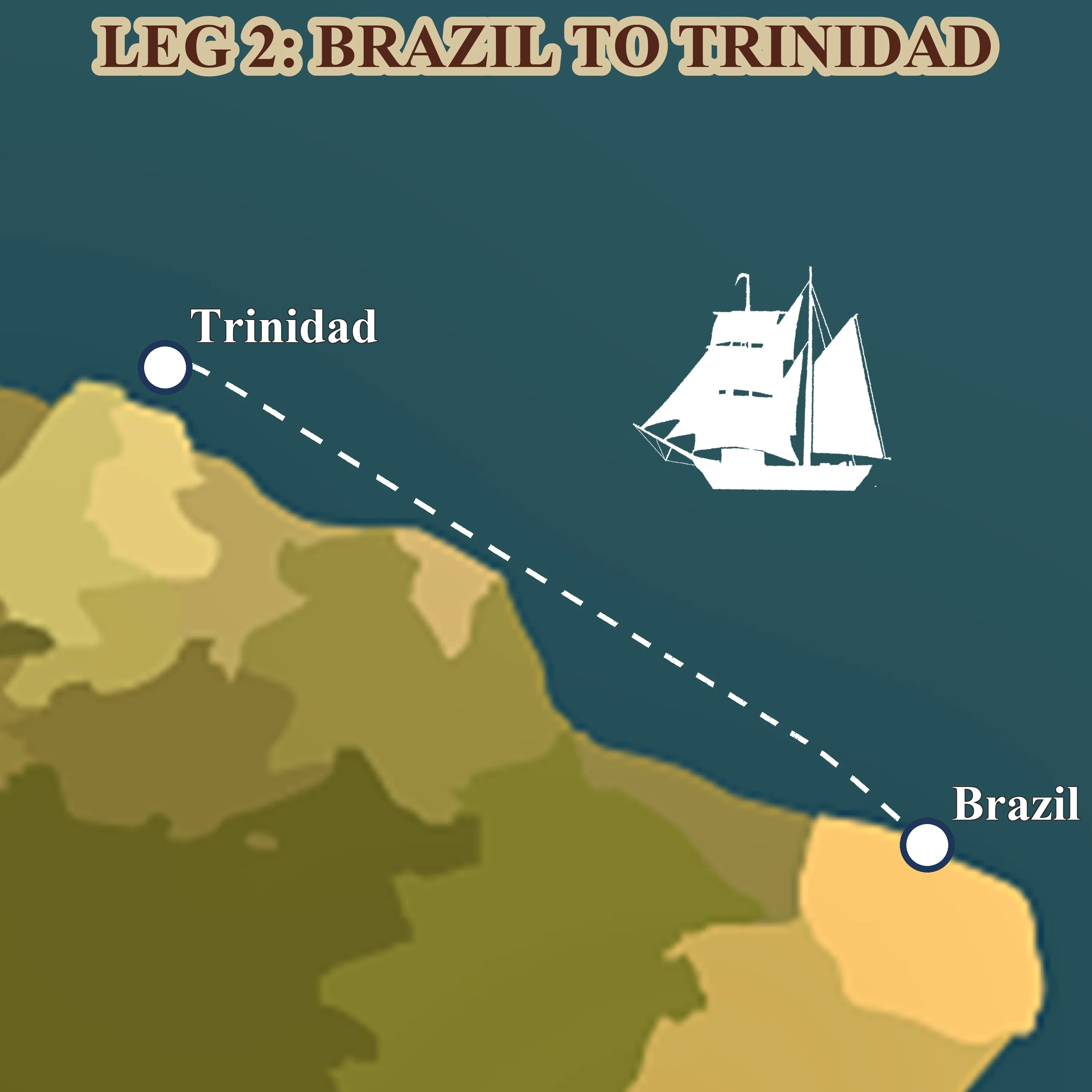
Leg 6: from Fortaleza to Trinidad along South America
Mar 2027 — Apr 2027 · Fortaleza, Brazil → Trinidad
A thousand miles of downwind trade running, the Amazon's brown water under the hull, the Guianas smudged on the horizon, and Trinidad's steelpan waiting at the end.
Read more about this leg → about Leg 6: from Fortaleza to Trinidad along South America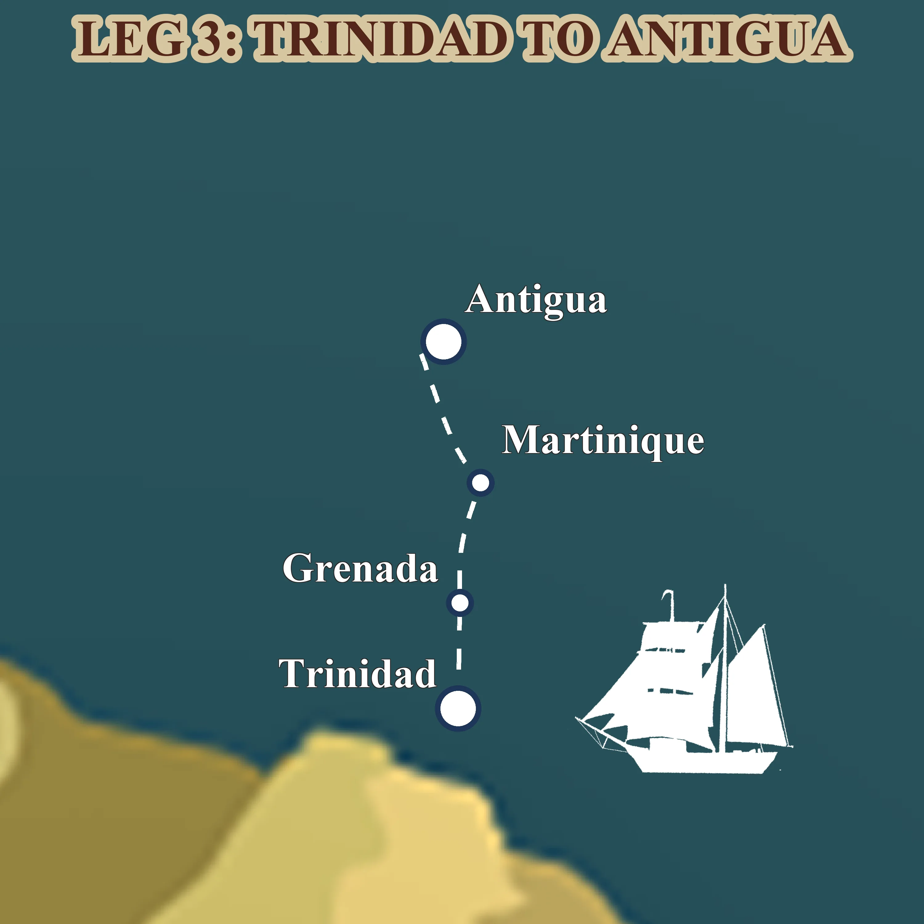
Leg 7: through the Windward Islands from Trinidad to Antigua
Apr 2027 — May 2027 · Trinidad → Antigua
Four weeks of short trade-wind daysails through the Lesser Antilles, turquoise anchorages, rum shops on the sand, French-Creole Martinique and the tall-ship scene in Antigua.
Read more about this leg → about Leg 7: through the Windward Islands from Trinidad to Antigua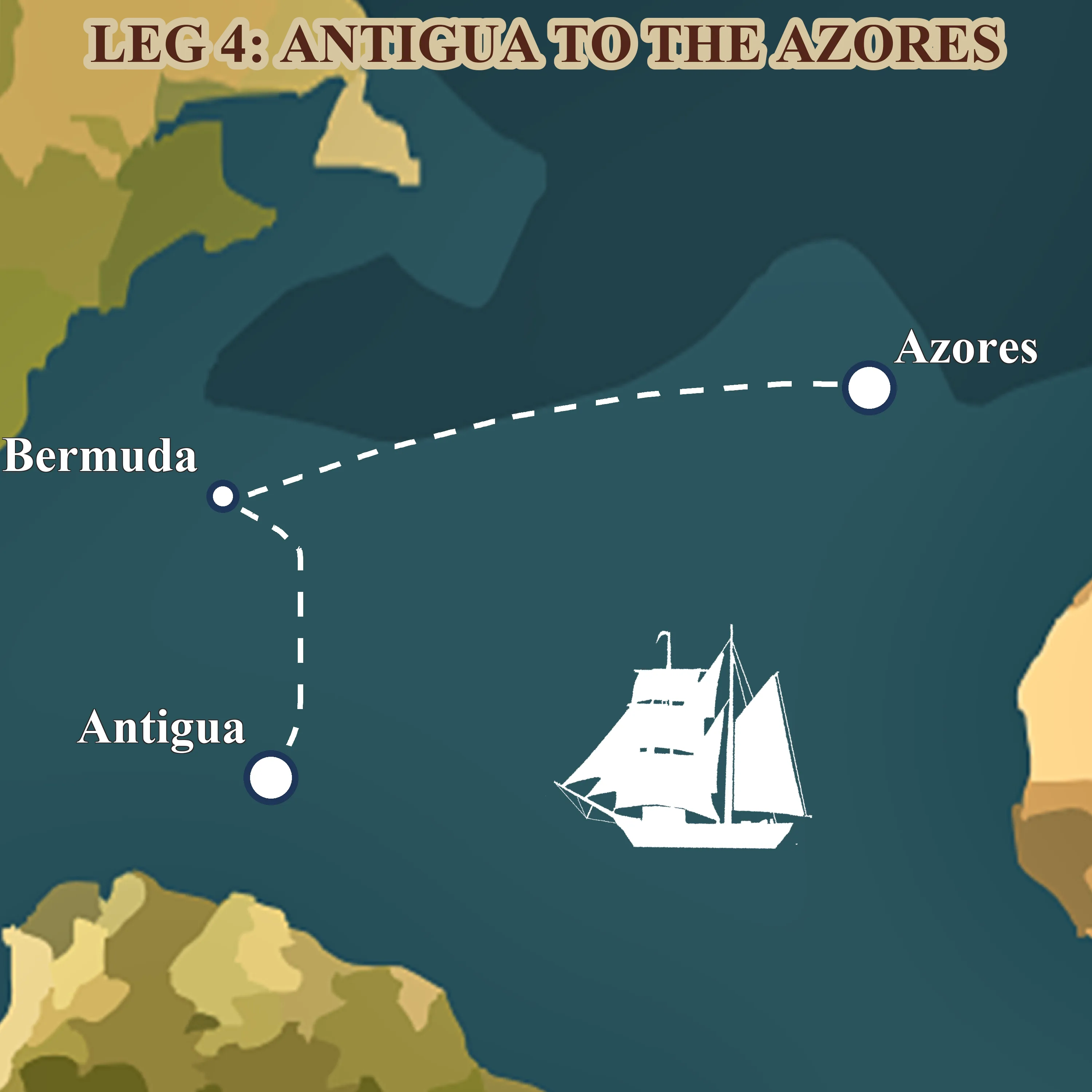
Leg 8: across the North Atlantic from Antigua to the Azores
May 2027 — Jul 2027 · Antigua → Ponta Delgada, Azores
Fifty-six days on the classic spring tall-ship route home, Antigua, a long reach to Bermuda's pink sand, then three weeks of open ocean to the volcanic Azores.
Read more about this leg → about Leg 8: across the North Atlantic from Antigua to the Azores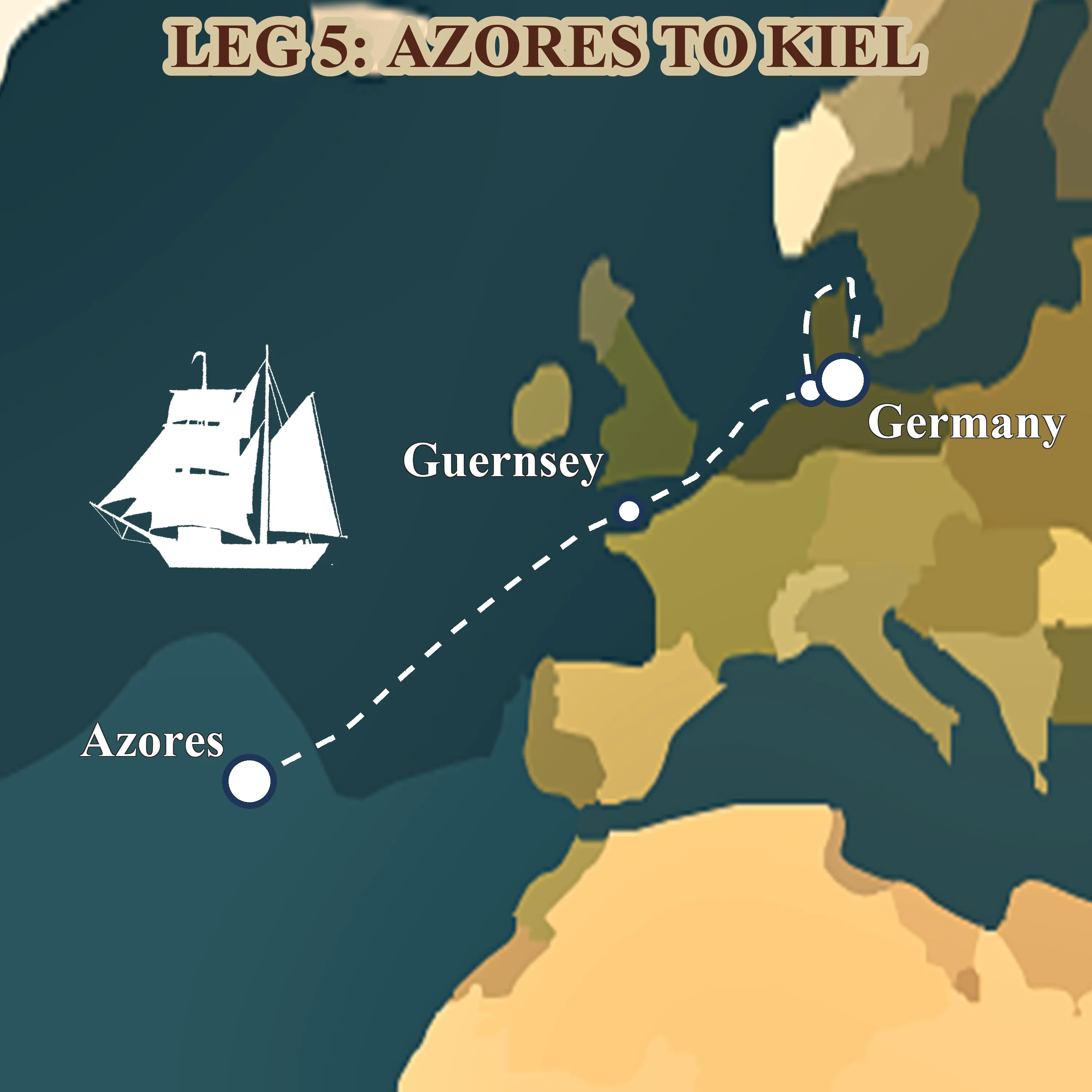
Leg 9: homecoming from the Azores to Kiel
Jul 2027 — Aug 2027 · Ponta Delgada, Azores → Kiel, Germany
The final 1,878 nm, from volcanic São Miguel to the Baltic, up the English Channel through the Dover TSS, past Helgoland's red cliffs and home to Kiel.
Read more about this leg → about Leg 9: homecoming from the Azores to KielWhy NEPTUN teaches celestial navigation on every leg
Three reasons, none of them nostalgia.
Safety. A working sextant and a trained user is the only fully self-sufficient long-range fix method. Everything else depends on infrastructure somebody else controls. When the satellites go dark, for any reason at all, this is what is left.
Understanding. A trainee who has taken their own sun-line knows what "position" actually means. GPS gives you an answer. Celestial shows you the work: the geometry of the earth and the sky, the role of precise time, the way a small error on the arc becomes a large error on the chart. You navigate better with electronics once you have navigated without them.
Continuity. The technique is older than the US Navy, older than most of the flags flying in the world's harbours. Every voyage leg hands it to another ten people who carry it forward, not because they will all use it professionally, but because that is how a craft stays alive.
What a NEPTUN trainee actually gets, in practice: a supervised noon sight on the first passage leg; a star-fix attempt on a second; a full worked sight reduction by voyage end. You will not leave with a certificate, NEPTUN is not a school, but you will have taken your own latitude from the sun, and that is not nothing. For the wider picture see our sail training programme and learn traditional seamanship.
Pick your leg
The full 2026-2027 itinerary is live, nine legs from Bali to Kiel, each with its own window for celestial practice.
The navigators who made the method possible
Four people whose work still sits on NEPTUN's chart table, in chronological order.
1773, Nevil Maskelyne
The British Astronomer Royal publishes the first Nautical Almanac, precomputing the positions of the sun, moon and stars for every day of the year. For the first time, a working mariner can find longitude by lunar distances without being a professional astronomer.
1802, Nathaniel Bowditch
Bowditch publishes The New American Practical Navigator after correcting more than eight thousand errors in the existing English tables. Still issued by the US government, still carried on NEPTUN, still the standard reference two centuries later.
1837, Captain Thomas H. Sumner
Approaching the Irish coast in thick weather, Sumner realises that a single altitude of the sun defines a line of position rather than a point. The Sumner line becomes the foundation of every modern celestial fix.
1881, Captain Squire Lecky
Wrinkles in Practical Navigation turns Sumner's method into a working handbook. Lecky's book travels in sea-chests around the world and carries celestial navigation into the twentieth century, through two world wars and most of the transatlantic trade.
Each generation added one piece. Maskelyne made the almanac. Bowditch made the textbook. Sumner made the line of position. Lecky made the handbook. Together they turned celestial navigation from an art practised by a few officers into a craft that an ordinary mariner could learn, and, on a modern tall ship, still can.
FAQ
Do sailors still use celestial navigation?
Yes. Celestial competence is required under STCW for merchant officers of the watch, has been taught at the US Naval Academy again since 2015, and is used daily on traditional sail-training ships like NEPTUN. On private yachts it is optional; on commercial and naval vessels it remains a live skill.
How accurate is celestial navigation compared to GPS?
A trained navigator with a good sextant, an accurate chronometer and a clean horizon can fix a position to within one to three nautical miles. GPS gives sub-ten-metre accuracy. Celestial is less precise, but it requires no infrastructure and cannot be jammed or spoofed.
How long does it take to learn celestial navigation?
Enough for a basic noon sight: one afternoon of instruction. Enough to work a full star fix independently: around forty to sixty hours of practice, spread over a full ocean voyage. Enough to teach it: years. Most NEPTUN trainees reach "I took my own latitude" by the middle of their leg.
Do you need a sextant for a transatlantic crossing?
Not legally, on a private yacht, GPS is accepted for recreational navigation, and plenty of boats cross the Atlantic with no sextant on board. SOLAS-flagged commercial vessels must carry a sextant as backup. NEPTUN carries three, and uses them regardless of what the regulations require.
Is celestial navigation required by law?
Under the STCW Convention, the International Convention on Standards of Training, Certification and Watchkeeping, celestial-navigation competence is required for Officer-of-the-Watch and Master certificates, the professional licences that let you work a commercial ship. It is not required for most recreational certificates.
Why did the US Naval Academy bring celestial navigation back?
The Academy dropped celestial from its core curriculum in the late 1990s as GPS became universal. It was restored in 2015 after the Navy grew increasingly concerned about GPS jamming, spoofing and cyber-attacks on navigation systems. Celestial is immune to all three, and works anywhere in the world without permission from anyone.
Can a beginner learn celestial navigation on a NEPTUN voyage?
Yes. Every voyage leg includes a supervised noon sight early on, and the longer legs, Bali to Réunion, South Africa to Brazil, Antigua to the Azores, include full star-fix practice. You will not leave certified, but you will have taken your own position from the sun. To book a place, apply for a berth.
The full 2026-2027 voyage
Ready to take your own sights? Here is where you could take them. Nine legs, 17,844 nautical miles, 482 days.
Leg 1: from Bali to Réunion across the Indian Ocean
May 2026 — Aug 2026 · Bali, Indonesia → Réunion, France
The opening chapter of Neptun's 482-day world voyage, a 4,078-nm trade-wind passage from the temples of Bali to the volcanic cliffs of Réunion.
Read more about this leg → about Leg 1: from Bali to Réunion across the Indian OceanLeg 2: from Réunion to Zanzibar via Madagascar
Aug 2026 — Sept 2026 · Réunion, France → Zanzibar, Tanzania
Forty days across the western Indian Ocean, volcanic Réunion, lemur-haunted Nosy Be, the Mozambique Channel, and the spice-scented stone alleys of Zanzibar.
Read more about this leg → about Leg 2: from Réunion to Zanzibar via MadagascarLeg 3: from Zanzibar to Durban down the Mozambique Channel
Sept 2026 — Nov 2026 · Zanzibar, Tanzania → Durban, South Africa
Sixty-three days coasting the African shore, spice islands, mangrove anchorages, Portuguese praças and the long trade-wind run down the Mozambique Channel to Durban.
Read more about this leg → about Leg 3: from Zanzibar to Durban down the Mozambique ChannelLeg 4: from Durban around the Cape of Good Hope
Nov 2026 — Dec 2026 · Durban, South Africa → Cape Town, South Africa
Thirty-eight days of serious seamanship, the Agulhas current, the Cape of Good Hope and the Southern Ocean at the tip of Africa, finishing quietly in Cape Town for Christmas.
Read more about this leg → about Leg 4: from Durban around the Cape of Good HopeLeg 5: across the South Atlantic from Saldanha to Fortaleza
Jan 2027 — Mar 2027 · Saldanha Bay, South Africa → Fortaleza, Brazil
Forty-four days before the southeast trades, Napoleon's exile at St. Helena, the equator crossing, and landfall in tropical Brazil. The ocean chapter of the voyage.
Read more about this leg → about Leg 5: across the South Atlantic from Saldanha to FortalezaLeg 6: from Fortaleza to Trinidad along South America
Mar 2027 — Apr 2027 · Fortaleza, Brazil → Trinidad
A thousand miles of downwind trade running, the Amazon's brown water under the hull, the Guianas smudged on the horizon, and Trinidad's steelpan waiting at the end.
Read more about this leg → about Leg 6: from Fortaleza to Trinidad along South AmericaLeg 7: through the Windward Islands from Trinidad to Antigua
Apr 2027 — May 2027 · Trinidad → Antigua
Four weeks of short trade-wind daysails through the Lesser Antilles, turquoise anchorages, rum shops on the sand, French-Creole Martinique and the tall-ship scene in Antigua.
Read more about this leg → about Leg 7: through the Windward Islands from Trinidad to AntiguaLeg 8: across the North Atlantic from Antigua to the Azores
May 2027 — Jul 2027 · Antigua → Ponta Delgada, Azores
Fifty-six days on the classic spring tall-ship route home, Antigua, a long reach to Bermuda's pink sand, then three weeks of open ocean to the volcanic Azores.
Read more about this leg → about Leg 8: across the North Atlantic from Antigua to the AzoresLeg 9: homecoming from the Azores to Kiel
Jul 2027 — Aug 2027 · Ponta Delgada, Azores → Kiel, Germany
The final 1,878 nm, from volcanic São Miguel to the Baltic, up the English Channel through the Dover TSS, past Helgoland's red cliffs and home to Kiel.
Read more about this leg → about Leg 9: homecoming from the Azores to KielRead also
- Square sails, explained, our most-read knowledge-base article and the seamanship companion to this one
- Learn traditional seamanship, the broader craft this article sits inside
- Parts of a tall ship, the vocabulary underneath the navigation
- What is a brigantine?, the specific rig you will be sailing
- Sail training programme, how NEPTUN teaches seamanship end to end
- Apply for a berth, the practical next step
Want to sail with us? Brigantine NEPTUN is a non-profit training ship , every voyage takes 10 crew members through real ocean sailing, no experience needed. Apply for a berth or read about the voyages first.